
How to draft a big surface necessary for importing a high-res aerial into SketchUp

This article is extracted from an exclusive article written by Daniel Tal, a professional speaker and a registered landscape architect. In this article, Daniel Tal sheds light on importing aerial maps into sketchup.
This is the part 2 series of the article. In part 1 series Mr. Daniel briefly explains how to apply skelion extension to import terrain into sketchup. This can generate a greater terrain area as compared to using add location tool of sketchup for importing purpose. Add location tool can import data from Google Earth.
Add Location is restricted upto one square mile of imported terrain, whereas Skelion can delivers in tens as well as hundreds, of square miles. But the Skelion terrain map does not contain an aerial image, or a genuine map draped onto the surface. You only obtain the terrain. Google Earth Pro is free and it facilitates the users to download and import aerials and maps up to 4k in resolution. These types of aerials are utilized to generate comprehensive context models in Lumion.
The method is comparatively very easy but involves various steps. In this article Mr. Daniel briefly explains the complete process for drafting a big surface required for importing a high-res aerial into SketchUp. As soon as it is positioned, the aerial is scaled and projected onto the Skelion terrain.
Process Initially, open the Preferences (PC: Window / Preferences, Mac: SketchUp / Preferences) to the OpenGL page. Ensure that Use maximum texture size is turned on, to offer the maximum resolution for the aerial.
Then open your Layers window. Deav the ?Google Earth Terrain? layer (the 3D terrain) and demonstrate the ?Google Earth Snapshot? layer (the 2D terrain).
Generate a new layer (click the ?plus? icon) and rename it with ?Skelion Terrain.?
Right-click on the Skelion terrain and select Entity Info. Apply this window to arrange the terrain on its layer.
To read the complete article, go through the following link http://danieltal.com/google-earth-aerial/
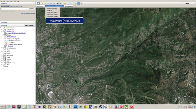
Image Courtesy: danieltal.com